
Geosteering for Real-Time Well Placement
Geosteering is the real-time process of adjusting a wellbore trajectory using geological and LWD/MWD data to keep the well within the target reservoir. To achieve this, 4DGeosteering provides geosteering services, formation evaluation, training, and technical support for accurate well placement and confident drilling decisions.

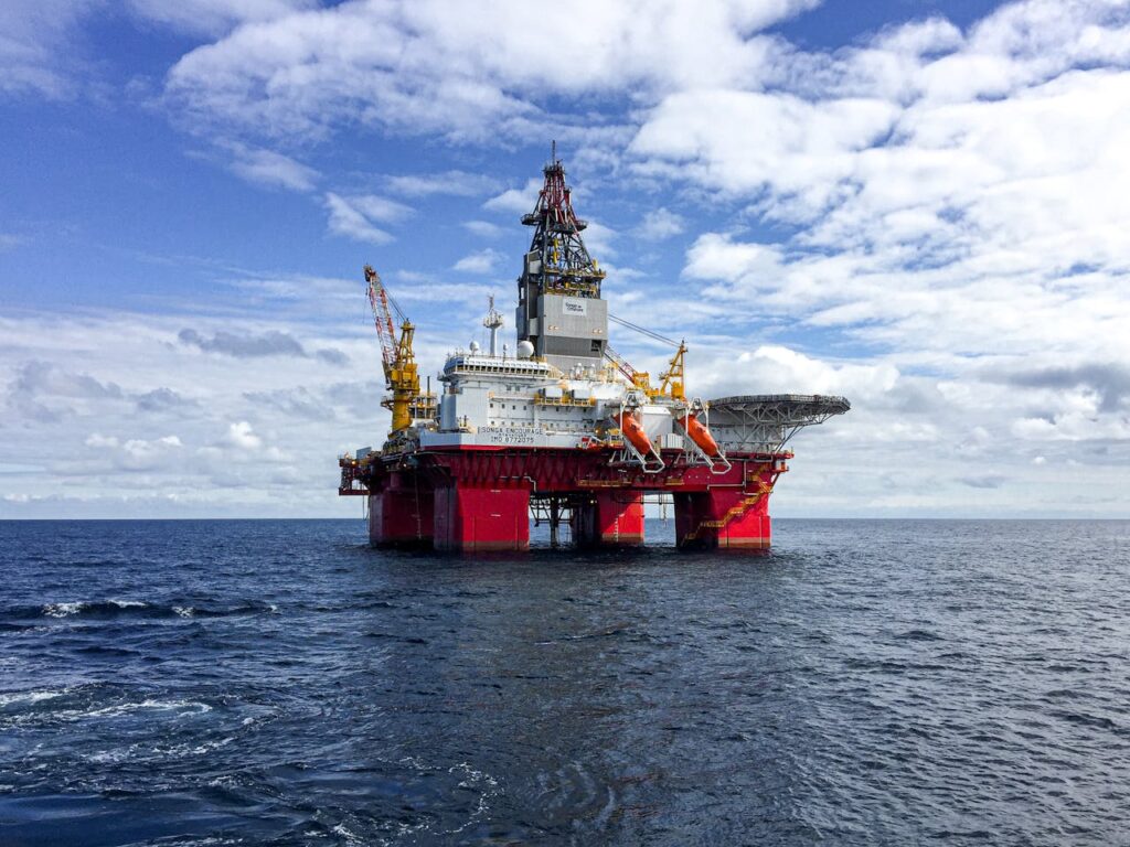
About 4DGeosteering
4DGeosteering combines geosteering expertise, formation evaluation, and LWD/MWD interpretation to support accurate well placement. In addition, our field experience helps operators understand complex reservoirs and make confident drilling decisions.
22+ Years
Industry Experience
100+ Wells
Horizontal Well Experience
3 Countries
Qatar, Oman & Egypt
What Is Geosteering?
Geosteering is the real-time process of using geological, drilling, and LWD/MWD data to adjust the well trajectory and keep the wellbore within the target reservoir.
The Evolution of Geosteering
Geosteering has evolved from simple trajectory control to advanced real-time reservoir navigation. Specifically, each stage introduced new capabilities that improved well placement accuracy, drilling efficiency, and production performance.
📍2D Geosteering
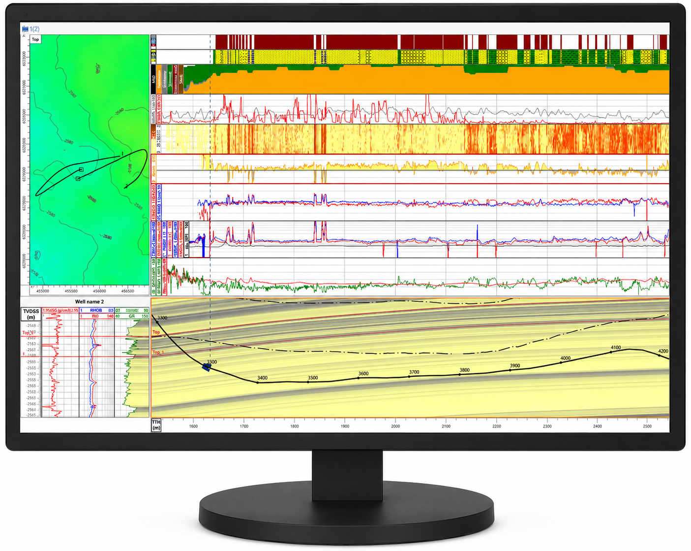
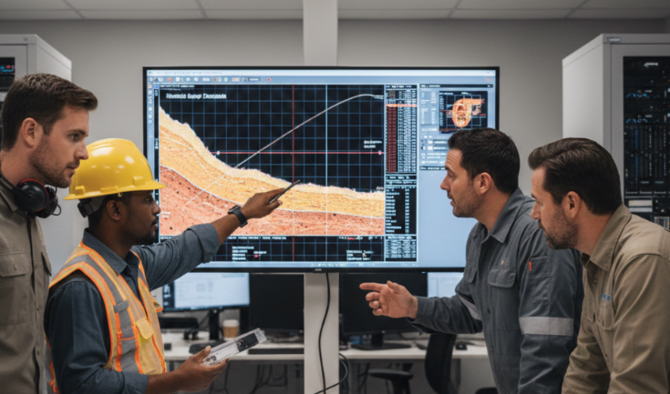
2D Geosteering interprets the well trajectory within a vertical geological section and, therefore, helps the team understand the wellbore position relative to formation boundaries and the target reservoir.
📍3D Geosteering
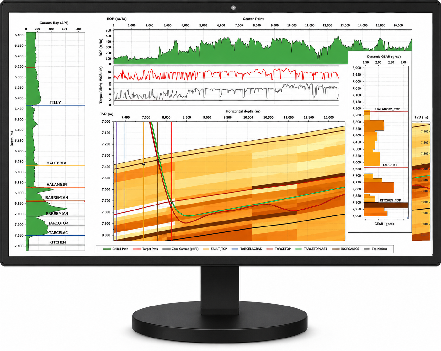
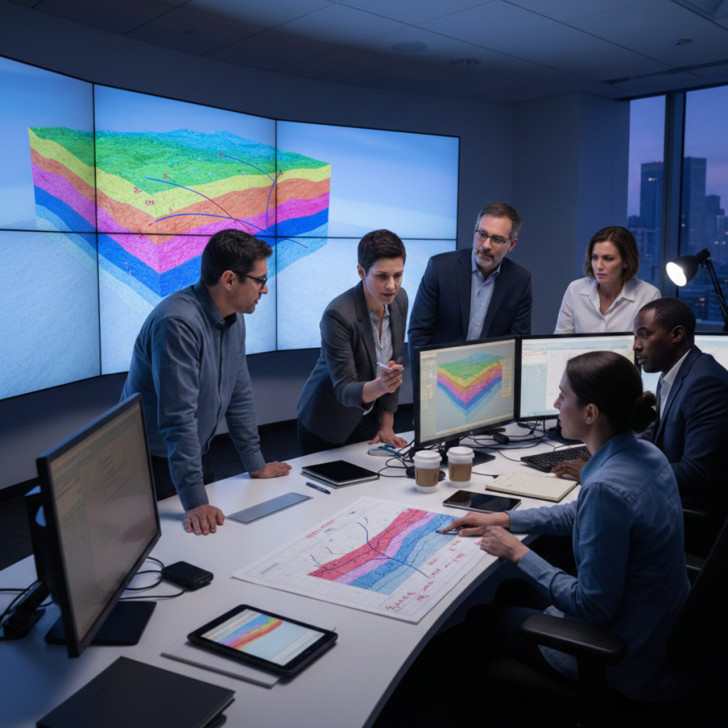
3D Geosteering adds the full spatial context of the well path, reservoir surfaces, faults, and lateral geological changes. Consequently, it supports more informed well placement decisions in complex reservoirs.
📍4D Geosteering
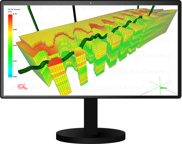
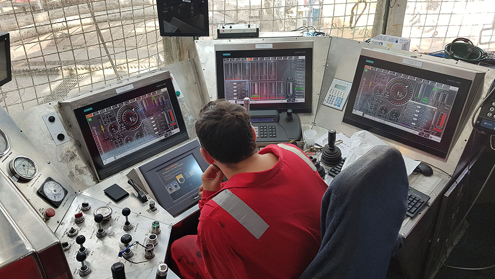
4D Geosteering continuously updates the 3D geological interpretation as new LWD/MWD measurements, surveys, and drilling data become available. As a result, the geological model and steering recommendations evolve throughout the drilling operation.
The 4DGeosteering Advantage
Why Partner With Us?
4DGeosteering combines real-time interpretation, technical expertise, and drilling collaboration to support accurate well placement. In addition, our clear recommendations help teams reduce uncertainty and make timely steering decisions.
- In addition, achieve unmatched real-time drilling precision and trajectory control.
- Consequently, minimize drilling hazards, non-productive time, and operational costs.
- Furthermore, maximize reservoir exposure and target contact.
- Therefore, benefit from dedicated round-the-clock expert geological support.